 vesseltracker.com
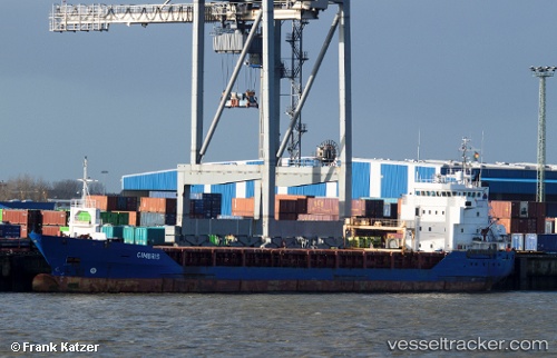
Vessel NORDLAND IMO: 9281786, MMSI: 275519000 General Cargo Ship
UTC, 54.35684, 9.88211, course: 297, speed: 0.5
UTC, 54.25346, 9.61883, course: 199, speed: 6.6
2026-03-20 13:42:41 UTC, 54.15007, 9.36425, course: 240, speed: 6.7
Live Vessel NORDLAND Analytics (details, animations, etc.)
Live AIS position: UTC. Near Fischerhütte), updated 2026-03-20 13:42:41 UTC.Find the position of the vessel NORDLAND on the map. The latter are known coordinates and path.
marine traffic ship tracker show on live map
The current position of vessel NORDLAND is 54.15007 lat / 9.36425 lng. Updated: 2026-03-20 13:42:41 UTCCurrently sailing under the flag of Latvia
NORDLAND built in 2003 year
Deadweight:
4525 tDetails:
Last coordinates of the vessel:
UTC, 54.36601, 10.14199, course: 285, speed: 0UTC, 54.35684, 9.88211, course: 297, speed: 0.5
UTC, 54.25346, 9.61883, course: 199, speed: 6.6
2026-03-20 13:42:41 UTC, 54.15007, 9.36425, course: 240, speed: 6.7