 vesseltracker.com
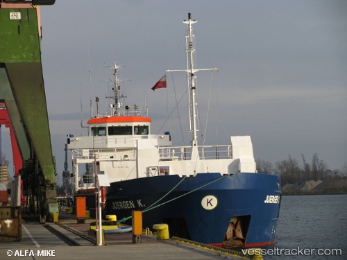
Vessel ARMARA JULES VERNE IMO: 9195717, MMSI: 275549000 General Cargo
UTC, 43.37016, -3.14036, course: 72, speed: 0.3
UTC, 43.37045, -3.14041, course: 99, speed: 0.3
2026-03-03 23:12:22 UTC, 43.37019, -3.14052, course: 87, speed: 0.2
Live AIS position:
UTC. Near Onton),
updated 2026-03-03 23:12:22 UTC.
Find the position of the vessel ARMARA JULES VERNE on the map. The latter are known coordinates and path.
marine traffic ship tracker show on live map
The current position of vessel ARMARA JULES VERNE is 43.37019 lat / -3.14052 lng. Updated: 2026-03-03 23:12:22 UTCCurrently sailing under the flag of Latvia
Details:
Last coordinates of the vessel:
UTC, 43.37012, -3.14043, course: 76, speed: 0.2UTC, 43.37016, -3.14036, course: 72, speed: 0.3
UTC, 43.37045, -3.14041, course: 99, speed: 0.3
2026-03-03 23:12:22 UTC, 43.37019, -3.14052, course: 87, speed: 0.2