 vesseltracker.com
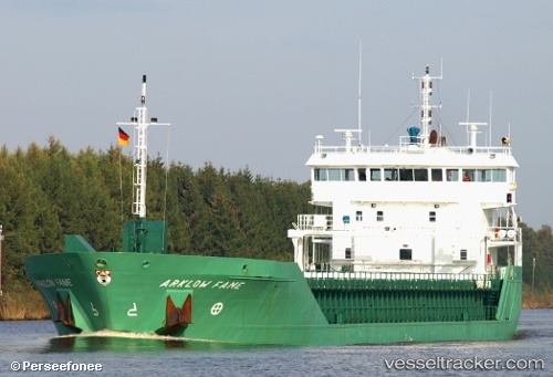
Vessel NATALIE IMO: 9361720, MMSI: 304428000 General Cargo
UTC, 50.60557, 1.23780, course: 48, speed: 8.1
UTC, 50.73351, 1.40701, course: 24, speed: 7.9
2026-03-01 20:15:52 UTC, 51.06682, 1.71505, course: 38, speed: 10.2
Live AIS position:
UTC. Near Calais),
updated 2026-03-01 20:15:52 UTC.
Find the position of the vessel NATALIE on the map. The latter are known coordinates and path.
marine traffic ship tracker show on live map
The current position of vessel NATALIE is 51.06682 lat / 1.71505 lng. Updated: 2026-03-01 20:15:52 UTCCurrently sailing under the flag of Antigua and Barbuda
Details:
Last coordinates of the vessel:
UTC, 50.40221, 0.68440, course: 75, speed: 7.9UTC, 50.60557, 1.23780, course: 48, speed: 8.1
UTC, 50.73351, 1.40701, course: 24, speed: 7.9
2026-03-01 20:15:52 UTC, 51.06682, 1.71505, course: 38, speed: 10.2