 vesseltracker.com
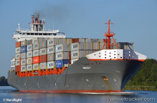
Vessel Annalisa P IMO: 9437141, MMSI: 305313000 Container Ship
UTC, 55.84545, 19.49049, course: 97, speed: 10
UTC, 55.81833, 19.89667, course: -1, speed: 9
2026-03-01 02:33:36 UTC, 55.80091, 20.15761, course: -1, speed: 10.1
Live AIS position:
UTC. 32 nm W of Pilies juru uosto PVP/Klaipeda),
updated 2026-03-01 02:33:36 UTC.
Find the position of the vessel Annalisa P on the map. The latter are known coordinates and path.
marine traffic ship tracker show on live map
The current position of vessel Annalisa P is 55.80091 lat / 20.15761 lng. Updated: 2026-03-01 02:33:36 UTCCurrently sailing under the flag of Antigua Barbuda
Annalisa P built in 2008 year
Deadweight:
18464 tDetails:
Last coordinates of the vessel:
UTC, 55.72176, 19.02909, course: 3, speed: 10.3UTC, 55.84545, 19.49049, course: 97, speed: 10
UTC, 55.81833, 19.89667, course: -1, speed: 9
2026-03-01 02:33:36 UTC, 55.80091, 20.15761, course: -1, speed: 10.1