 vesseltracker.com
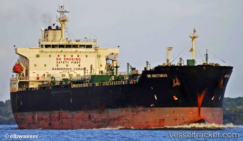
Vessel SENTINEL IMO: 9337315, MMSI: 305333000 Oil/Chemical Tanker
UTC, 35.89333, -6.26500, course: -1, speed: 5
UTC, 35.90160, -5.95948, course: 91, speed: 7.5
2026-03-24 19:29:18 UTC, 35.90935, -5.70290, course: 85, speed: 9.2
Live Vessel SENTINEL Analytics (details, animations, etc.)
Live AIS position: UTC. Near Strait Of Gibraltar), updated 2026-03-24 19:29:18 UTC.Find the position of the vessel SENTINEL on the map. The latter are known coordinates and path.
marine traffic ship tracker show on live map
The current position of vessel SENTINEL is 35.90935 lat / -5.70290 lng. Updated: 2026-03-24 19:29:18 UTCCurrently sailing under the flag of Antigua and Barbuda
Details:
Last coordinates of the vessel:
UTC, 35.91500, -6.44167, course: -1, speed: 5UTC, 35.89333, -6.26500, course: -1, speed: 5
UTC, 35.90160, -5.95948, course: 91, speed: 7.5
2026-03-24 19:29:18 UTC, 35.90935, -5.70290, course: 85, speed: 9.2