 vesseltracker.com
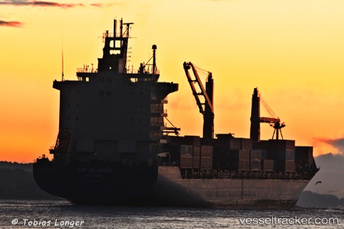
Vessel As Carlotta IMO: 9311775, MMSI: 305347000 Container Ship
UTC, 13.54000, 113.21167, course: -1, speed: 16
UTC, 13.04000, 112.70167, course: -1, speed: 16
2026-02-14 11:38:03 UTC, 12.74531, 112.38784, course: 226, speed: 16.7
Live AIS position:
UTC. 161 nm E of Tan Cang Qui Nhon),
updated 2026-02-14 11:38:03 UTC.
Find the position of the vessel As Carlotta on the map. The latter are known coordinates and path.
marine traffic ship tracker show on live map
The current position of vessel As Carlotta is 12.74531 lat / 112.38784 lng. Updated: 2026-02-14 11:38:03 UTCDetails:
Last coordinates of the vessel:
UTC, 13.79970, 113.51879, course: 225, speed: 16.7UTC, 13.54000, 113.21167, course: -1, speed: 16
UTC, 13.04000, 112.70167, course: -1, speed: 16
2026-02-14 11:38:03 UTC, 12.74531, 112.38784, course: 226, speed: 16.7