 vesseltracker.com
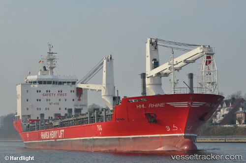
Vessel SOPHIA IMO: 9467017, MMSI: 305413000 General Cargo
UTC, -29.74761, 32.04237, course: 38, speed: 10.6
UTC, -29.59335, 32.15079, course: 35, speed: 10.7
2026-02-25 12:16:53 UTC, -29.16295, 32.44936, course: -1, speed: 10.6
Live AIS position:
UTC. 25 nm SE of Richards Bay),
updated 2026-02-25 12:16:53 UTC.
Find the position of the vessel SOPHIA on the map. The latter are known coordinates and path.
marine traffic ship tracker show on live map
The current position of vessel SOPHIA is -29.16295 lat / 32.44936 lng. Updated: 2026-02-25 12:16:53 UTCCurrently sailing under the flag of Antigua and Barbuda
Details:
Last coordinates of the vessel:
UTC, -30.21833, 31.68833, course: -1, speed: 10UTC, -29.74761, 32.04237, course: 38, speed: 10.6
UTC, -29.59335, 32.15079, course: 35, speed: 10.7
2026-02-25 12:16:53 UTC, -29.16295, 32.44936, course: -1, speed: 10.6