 vesseltracker.com
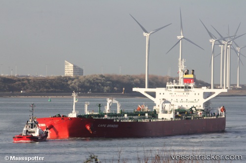
Vessel TITAN IMO: 9293143, MMSI: 306281000 Crude Oil Tanker
UTC, 14.67935, 69.81072, course: 130, speed: 10.7
UTC, 13.89472, 70.71189, course: 133, speed: 10
2026-02-26 19:55:39 UTC, 13.63925, 70.98134, course: 130, speed: 9.7
Live AIS position:
UTC. 183 nm NW of Amini Island),
updated 2026-02-26 19:55:39 UTC.
Find the position of the vessel TITAN on the map. The latter are known coordinates and path.
marine traffic ship tracker show on live map
The current position of vessel TITAN is 13.63925 lat / 70.98134 lng. Updated: 2026-02-26 19:55:39 UTCCurrently sailing under the flag of Curacao
Details:
Last coordinates of the vessel:
UTC, 14.67935, 69.81072, course: 130, speed: 10.7UTC, 14.67935, 69.81072, course: 130, speed: 10.7
UTC, 13.89472, 70.71189, course: 133, speed: 10
2026-02-26 19:55:39 UTC, 13.63925, 70.98134, course: 130, speed: 9.7