 vesseltracker.com
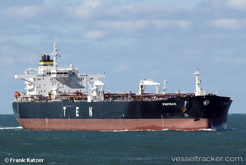
Vessel ANIKA IMO: 9305609, MMSI: 306689000 Oil Products Tanker
UTC, 8.92834, 109.81966, course: 44, speed: 11.5
UTC, 9.22503, 110.09020, course: 41, speed: 11.5
2026-02-27 01:35:47 UTC, 9.51747, 110.34226, course: 42, speed: 11.3
Live AIS position:
UTC. 117 nm NE of Dai Hung (Tandem Load)),
updated 2026-02-27 01:35:47 UTC.
Find the position of the vessel ANIKA on the map. The latter are known coordinates and path.
marine traffic ship tracker show on live map
The current position of vessel ANIKA is 9.51747 lat / 110.34226 lng. Updated: 2026-02-27 01:35:47 UTCCurrently sailing under the flag of Curacao
Details:
Last coordinates of the vessel:
UTC, 8.77233, 109.68191, course: 45, speed: 11.5UTC, 8.92834, 109.81966, course: 44, speed: 11.5
UTC, 9.22503, 110.09020, course: 41, speed: 11.5
2026-02-27 01:35:47 UTC, 9.51747, 110.34226, course: 42, speed: 11.3