 vesseltracker.com
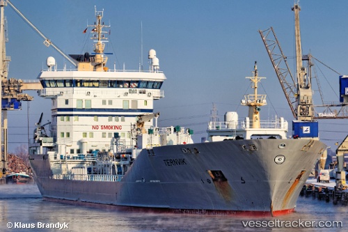
Vessel OCEANA KAI IMO: 9221267, MMSI: 307102000 Oil/Chemical Tanker
UTC, 25.48958, 56.78964, course: 238, speed: 3.9
UTC, 25.48958, 56.78964, course: 238, speed: 3.9
2026-03-22 02:34:54 UTC, 25.48958, 56.78964, course: 238, speed: 3.9
Live Vessel OCEANA KAI Analytics (details, animations, etc.)
Live AIS position: UTC. 16 nm NE of Offshore Fujairah), updated 2026-03-22 02:34:54 UTC.Find the position of the vessel OCEANA KAI on the map. The latter are known coordinates and path.
marine traffic ship tracker show on live map
The current position of vessel OCEANA KAI is 25.48958 lat / 56.78964 lng. Updated: 2026-03-22 02:34:54 UTCCurrently sailing under the flag of Aruba
Details:
Last coordinates of the vessel:
UTC, 25.48958, 56.78964, course: 238, speed: 3.9UTC, 25.48958, 56.78964, course: 238, speed: 3.9
UTC, 25.48958, 56.78964, course: 238, speed: 3.9
2026-03-22 02:34:54 UTC, 25.48958, 56.78964, course: 238, speed: 3.9