 vesseltracker.com
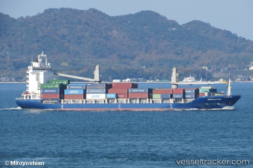
Vessel Resolution IMO: 9202780, MMSI: 308025000 Container Ship
Live AIS position:
UTC. 31 nm NE of Longyan Pt),
updated 2026-01-05 18:16:49 UTC.
Find the position of the vessel Resolution on the map. The latter are known coordinates and path.
marine traffic ship tracker show on live map
The current position of vessel Resolution is 37.83428 lat / 123.04428 lng. Updated: 2026-01-05 18:16:49 UTCCurrently sailing under the flag of Bahamas
Details:
Last coordinates of the vessel:
2026-01-05 18:16:49 UTC, 37.83428, 123.04428, course: 302, speed: 14.5