 vesseltracker.com
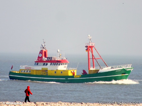
 OSPREY
Current Status
Where is the vessel?
OSPREY is currently in 22 nm SW of Haspe, based on AIS data received about 1h ago.
Latest AIS update:
Current position: 54.11943° N, 6.95829° E (22 nm SW of Haspe)
Average speed (last 7 days): Loading…
Average speed (last 30 days): Loading…
Vessel profile: OSPREY is a Utility Vessel with dimensions m x m.
This page combines live AIS, route history, probable destination signals, nearby traffic, and port activity for practical vessel monitoring.
The current position of vessel OSPREY is 54.11943 lat / 6.95829 lng. Updated: 2026-03-25 07:42:53 UTCNearest reference points:
- Near NORDERNEY
- Near NORDDEICH
- Near Borkum
Currently sailing under the flag of Bahamas ![]()
Details:
Live Vessel OSPREY Analytics (details, animations, etc.)
Recent AIS points (UTC):
2026-03-25 01:18:06 UTC · 54.08158, 6.71031 · SOG 1.8 kn · COG -1°2026-03-25 03:29:02 UTC · 54.11337, 6.77254 · SOG 1.8 kn · COG -1°
2026-03-25 06:10:34 UTC · 54.10692, 6.73512 · SOG 4.9 kn · COG -1°
2026-03-25 07:42:53 UTC · 54.11943, 6.95829 · SOG 5.4 kn · COG 83°