 vesseltracker.com
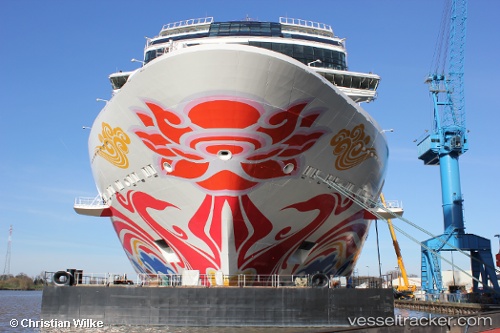
Vessel Norwegian Joy IMO: 9703796, MMSI: 311000599 Cruise Ship
UTC, 18.33009, -64.92728, course: 237, speed: 0
UTC, 18.33010, -64.92728, course: 237, speed: 0
2026-03-02 17:47:09 UTC, 18.33009, -64.92727, course: -1, speed: 0
Live AIS position:
UTC. Near ST THOMAS),
updated 2026-03-02 17:47:09 UTC.
Find the position of the vessel Norwegian Joy on the map. The latter are known coordinates and path.
marine traffic ship tracker show on live map
The current position of vessel Norwegian Joy is 18.33009 lat / -64.92727 lng. Updated: 2026-03-02 17:47:09 UTCCurrently sailing under the flag of Bahamas
Details:
Last coordinates of the vessel:
UTC, 18.40996, -65.20552, course: 133, speed: 19UTC, 18.33009, -64.92728, course: 237, speed: 0
UTC, 18.33010, -64.92728, course: 237, speed: 0
2026-03-02 17:47:09 UTC, 18.33009, -64.92727, course: -1, speed: 0