 vesseltracker.com
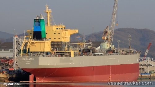
Vessel Manolates IMO: 9756274, MMSI: 311000803 Oil Products Tanker
UTC, -32.78756, 152.90196, course: 49, speed: 9.5
UTC, -32.63020, 153.17958, course: 35, speed: 9.3
2026-02-17 14:30:03 UTC, -32.30653, 153.47623, course: 31, speed: 10.1
Live AIS position:
UTC. 51 nm E of Coomba Park),
updated 2026-02-17 14:30:03 UTC.
Find the position of the vessel Manolates on the map. The latter are known coordinates and path.
marine traffic ship tracker show on live map
The current position of vessel Manolates is -32.30653 lat / 153.47623 lng. Updated: 2026-02-17 14:30:03 UTCCurrently sailing under the flag of Bahamas
Details:
Last coordinates of the vessel:
UTC, -32.91637, 152.43681, course: 71, speed: 9.8UTC, -32.78756, 152.90196, course: 49, speed: 9.5
UTC, -32.63020, 153.17958, course: 35, speed: 9.3
2026-02-17 14:30:03 UTC, -32.30653, 153.47623, course: 31, speed: 10.1