 vesseltracker.com
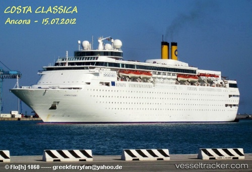
Vessel '311000969' IMO: 8716502, MMSI: 311000969
UTC, 26.53036, -78.75749, course: 269, speed: 0
UTC, 26.53037, -78.75750, course: 270, speed: 0
2026-01-18 00:25:53 UTC, 26.53038, -78.75750, course: 270, speed: 0
Live AIS position:
UTC. Near Freeport),
updated 2026-01-18 00:25:53 UTC.
Find the position of the vessel '311000969' on the map. The latter are known coordinates and path.
marine traffic ship tracker show on live map
The current position of vessel '311000969' is 26.53038 lat / -78.75750 lng. Updated: 2026-01-18 00:25:53 UTCDetails:
Last coordinates of the vessel:
UTC, 26.53037, -78.75747, course: 269, speed: 0UTC, 26.53036, -78.75749, course: 269, speed: 0
UTC, 26.53037, -78.75750, course: 270, speed: 0
2026-01-18 00:25:53 UTC, 26.53038, -78.75750, course: 270, speed: 0