 vesseltracker.com
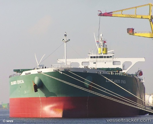
Vessel '311000999' IMO: 9345611, MMSI: 311000999
UTC, -27.41985, -18.49818, course: 280, speed: 12
UTC, -27.32787, -19.10660, course: 279, speed: 11.4
2026-02-15 19:52:06 UTC, -27.27723, -19.46495, course: 281, speed: 11.5
Live AIS position:
UTC. 328 nm NE of Sapiranga),
updated 2026-02-15 19:52:06 UTC.
Find the position of the vessel '311000999' on the map. The latter are known coordinates and path.
marine traffic ship tracker show on live map
The current position of vessel '311000999' is -27.27723 lat / -19.46495 lng. Updated: 2026-02-15 19:52:06 UTCDetails:
Last coordinates of the vessel:
UTC, -27.45810, -18.24512, course: 278, speed: 11.8UTC, -27.41985, -18.49818, course: 280, speed: 12
UTC, -27.32787, -19.10660, course: 279, speed: 11.4
2026-02-15 19:52:06 UTC, -27.27723, -19.46495, course: 281, speed: 11.5