 vesseltracker.com
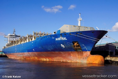
Vessel DOLE WARI IMO: 9399777, MMSI: 311001653 Container Ship
UTC, 21.36368, -85.52541, course: 21, speed: 18.9
UTC, 21.85309, -85.31091, course: 23, speed: 19
2026-02-26 07:04:51 UTC, 22.27219, -84.98780, course: 41, speed: 19
Live AIS position:
UTC. 27 nm N of Yucatan Channel),
updated 2026-02-26 07:04:51 UTC.
Find the position of the vessel DOLE WARI on the map. The latter are known coordinates and path.
marine traffic ship tracker show on live map
The current position of vessel DOLE WARI is 22.27219 lat / -84.98780 lng. Updated: 2026-02-26 07:04:51 UTCCurrently sailing under the flag of Bahamas
Details:
Last coordinates of the vessel:
UTC, 19.84365, -86.18733, course: 26, speed: 19.7UTC, 21.36368, -85.52541, course: 21, speed: 18.9
UTC, 21.85309, -85.31091, course: 23, speed: 19
2026-02-26 07:04:51 UTC, 22.27219, -84.98780, course: 41, speed: 19