 vesseltracker.com
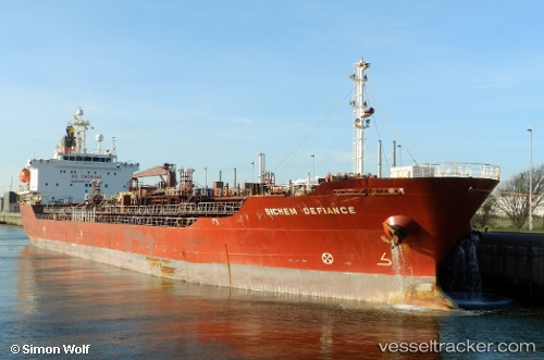
Vessel GOODAL IMO: 9244374, MMSI: 311001694 Oil/Chemical Tanker
UTC, 24.62500, 58.98667, course: -1, speed: 11
UTC, 24.50037, 59.30866, course: -1, speed: 11.6
2026-02-27 14:36:25 UTC, 24.27956, 59.87938, course: 108, speed: 11.4
Live AIS position:
UTC. 71 nm SW of Chah Bahar),
updated 2026-02-27 14:36:25 UTC.
Find the position of the vessel GOODAL on the map. The latter are known coordinates and path.
marine traffic ship tracker show on live map
The current position of vessel GOODAL is 24.27956 lat / 59.87938 lng. Updated: 2026-02-27 14:36:25 UTCCurrently sailing under the flag of Bahamas
Details:
Last coordinates of the vessel:
UTC, 24.77667, 58.56167, course: -1, speed: 11UTC, 24.62500, 58.98667, course: -1, speed: 11
UTC, 24.50037, 59.30866, course: -1, speed: 11.6
2026-02-27 14:36:25 UTC, 24.27956, 59.87938, course: 108, speed: 11.4