 vesseltracker.com
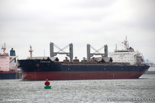
Vessel MACHITIS IMO: 9521007, MMSI: 311001717 Bulk Carrier
UTC, 1.28667, 103.96667, course: -1, speed: 0
UTC, 1.28727, 103.96640, course: 262, speed: 0
2026-02-25 06:33:49 UTC, 1.26381, 104.22862, course: 84, speed: 8.6
Live AIS position:
UTC. Near PENGERANG),
updated 2026-02-25 06:33:49 UTC.
Find the position of the vessel MACHITIS on the map. The latter are known coordinates and path.
marine traffic ship tracker show on live map
The current position of vessel MACHITIS is 1.26381 lat / 104.22862 lng. Updated: 2026-02-25 06:33:49 UTCCurrently sailing under the flag of Bahamas
Details:
Last coordinates of the vessel:
UTC, 1.28725, 103.96677, course: 272, speed: 0.1UTC, 1.28667, 103.96667, course: -1, speed: 0
UTC, 1.28727, 103.96640, course: 262, speed: 0
2026-02-25 06:33:49 UTC, 1.26381, 104.22862, course: 84, speed: 8.6