 vesseltracker.com
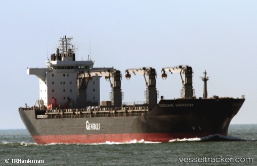
Vessel Cedar Arrow IMO: 9232802, MMSI: 311259000 Multi Purpose Carrier
UTC, -4.46931, -81.98482, course: 195, speed: 9.9
UTC, -4.74801, -81.97146, course: 184, speed: 10.2
2026-02-26 08:08:34 UTC, -5.19212, -81.93190, course: 177, speed: 9.7
Live AIS position:
UTC. 50 nm W of PAITA),
updated 2026-02-26 08:08:34 UTC.
Find the position of the vessel Cedar Arrow on the map. The latter are known coordinates and path.
marine traffic ship tracker show on live map
The current position of vessel Cedar Arrow is -5.19212 lat / -81.93190 lng. Updated: 2026-02-26 08:08:34 UTCDetails:
Last coordinates of the vessel:
UTC, -4.21831, -81.94445, course: 195, speed: 9.8UTC, -4.46931, -81.98482, course: 195, speed: 9.9
UTC, -4.74801, -81.97146, course: 184, speed: 10.2
2026-02-26 08:08:34 UTC, -5.19212, -81.93190, course: 177, speed: 9.7