 vesseltracker.com
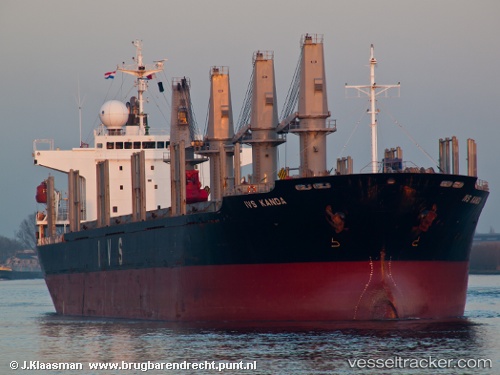
Vessel Queen Judi IMO: 9295567, MMSI: 312166000 Bulk Carrier
UTC, 10.43667, 44.99500, course: -1, speed: 0
UTC, 10.43667, 44.99500, course: -1, speed: 0
2026-03-25 03:19:42 UTC, 10.43667, 44.99500, course: -1, speed: 0
Live Vessel Queen Judi Analytics (details, animations, etc.)
Live AIS position: UTC. Near Berbera), updated 2026-03-25 03:19:42 UTC.Find the position of the vessel Queen Judi on the map. The latter are known coordinates and path.
marine traffic ship tracker show on live map
The current position of vessel Queen Judi is 10.43667 lat / 44.99500 lng. Updated: 2026-03-25 03:19:42 UTCDetails:
Last coordinates of the vessel:
UTC, 10.43667, 44.99500, course: -1, speed: 0UTC, 10.43667, 44.99500, course: -1, speed: 0
UTC, 10.43667, 44.99500, course: -1, speed: 0
2026-03-25 03:19:42 UTC, 10.43667, 44.99500, course: -1, speed: 0