 vesseltracker.com
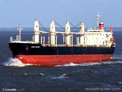
Vessel RUBYMAR IMO: 9138898, MMSI: 312168000 Bulk Carrier
Live Vessel RUBYMAR Analytics (details, animations, etc.)
Live AIS position: UTC. 10 nm NW of Perim Island), updated 2024-02-18 19:54:22 UTC.Find the position of the vessel RUBYMAR on the map. The latter are known coordinates and path.
marine traffic ship tracker show on live map
The current position of vessel RUBYMAR is 12.76649 lat / 43.29080 lng. Updated: 2024-02-18 19:54:22 UTCCurrently sailing under the flag of Belize
RUBYMAR built in 1997 year
Deadweight:
32211 tDetails:
Last coordinates of the vessel:
2024-02-18 19:54:22 UTC, 12.76649, 43.29080, course: 334, speed: 10.8