 vesseltracker.com
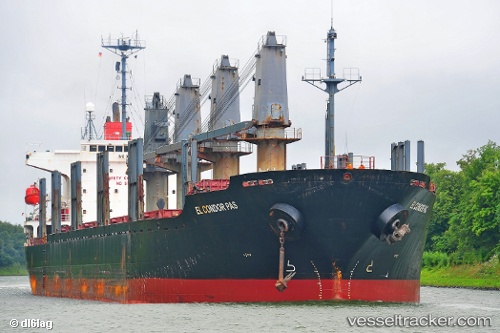
Vessel Montara IMO: 9234202, MMSI: 314527000 Bulk Carrier
UTC, 41.30175, 29.65967, course: 74, speed: 13
UTC, 41.30175, 29.65967, course: 74, speed: 13
2026-02-03 05:34:37 UTC, 41.30175, 29.65967, course: 74, speed: 13
Live AIS position:
UTC. Near SILE),
updated 2026-02-03 05:34:37 UTC.
Find the position of the vessel Montara on the map. The latter are known coordinates and path.
marine traffic ship tracker show on live map
The current position of vessel Montara is 41.30175 lat / 29.65967 lng. Updated: 2026-02-03 05:34:37 UTCCurrently sailing under the flag of Barbados
Details:
Last coordinates of the vessel:
UTC, 41.25607, 29.16588, course: 66, speed: 12.3UTC, 41.30175, 29.65967, course: 74, speed: 13
UTC, 41.30175, 29.65967, course: 74, speed: 13
2026-02-03 05:34:37 UTC, 41.30175, 29.65967, course: 74, speed: 13