 vesseltracker.com
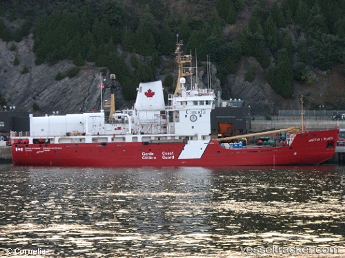
Vessel Martha L. Black IMO: 8320432, MMSI: 316039000 Buoy Lighthouse Vessel
UTC, 48.45833, -68.95667, course: -1, speed: 8
UTC, 48.48029, -68.51858, course: 151, speed: 4.3
2026-02-06 07:47:33 UTC, 48.48000, -68.51833, course: -1, speed: 0
Live AIS position:
UTC. Near Saint-Anaclet),
updated 2026-02-06 07:47:33 UTC.
Find the position of the vessel Martha L. Black on the map. The latter are known coordinates and path.
marine traffic ship tracker show on live map
The current position of vessel Martha L. Black is 48.48000 lat / -68.51833 lng. Updated: 2026-02-06 07:47:33 UTCCurrently sailing under the flag of Canada
Martha L. Black built in 1986 year
Deadweight:
1688 tDetails:
Last coordinates of the vessel:
UTC, 48.35585, -69.14878, course: 48, speed: 7.8UTC, 48.45833, -68.95667, course: -1, speed: 8
UTC, 48.48029, -68.51858, course: 151, speed: 4.3
2026-02-06 07:47:33 UTC, 48.48000, -68.51833, course: -1, speed: 0