 vesseltracker.com
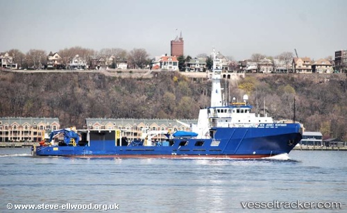
Vessel POINT NEMO IMO: 9043914, MMSI: 325149500 Pollution Control Vessel
UTC, -12.02108, -77.17989, course: 138, speed: 0.2
UTC, -12.02112, -77.17974, course: 134, speed: 0.2
2026-03-04 05:34:21 UTC, -12.02122, -77.17999, course: 186, speed: 0.2
Live AIS position:
UTC. Near Callao),
updated 2026-03-04 05:34:21 UTC.
Find the position of the vessel POINT NEMO on the map. The latter are known coordinates and path.
marine traffic ship tracker show on live map
The current position of vessel POINT NEMO is -12.02122 lat / -77.17999 lng. Updated: 2026-03-04 05:34:21 UTCCurrently sailing under the flag of Dominica
Details:
Last coordinates of the vessel:
UTC, -12.02115, -77.17991, course: 150, speed: 0.2UTC, -12.02108, -77.17989, course: 138, speed: 0.2
UTC, -12.02112, -77.17974, course: 134, speed: 0.2
2026-03-04 05:34:21 UTC, -12.02122, -77.17999, course: 186, speed: 0.2