 vesseltracker.com
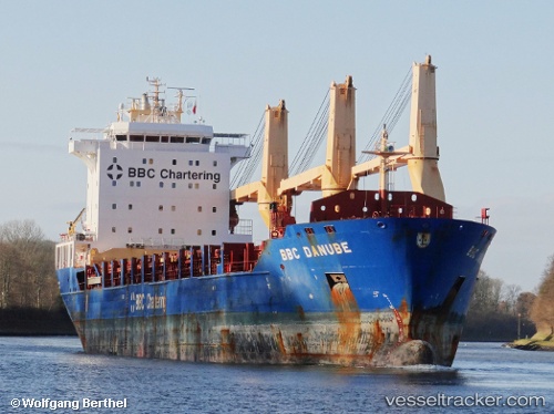
Vessel ALLIED BROOKLYN IMO: 9571399, MMSI: 338410000 General Cargo
UTC, 26.65276, 138.59192, course: 334, speed: 12.4
UTC, 27.00188, 138.40848, course: 334, speed: 12.1
2026-03-19 07:10:28 UTC, 27.44676, 138.19501, course: 334, speed: 12
Live Vessel ALLIED BROOKLYN Analytics (details, animations, etc.)
Live AIS position: UTC. 214 nm W of Omura), updated 2026-03-19 07:10:28 UTC.Find the position of the vessel ALLIED BROOKLYN on the map. The latter are known coordinates and path.
marine traffic ship tracker show on live map
The current position of vessel ALLIED BROOKLYN is 27.44676 lat / 138.19501 lng. Updated: 2026-03-19 07:10:28 UTCCurrently sailing under the flag of United States
Details:
Last coordinates of the vessel:
UTC, 26.51874, 138.66714, course: 331, speed: 12.2UTC, 26.65276, 138.59192, course: 334, speed: 12.4
UTC, 27.00188, 138.40848, course: 334, speed: 12.1
2026-03-19 07:10:28 UTC, 27.44676, 138.19501, course: 334, speed: 12