 vesseltracker.com
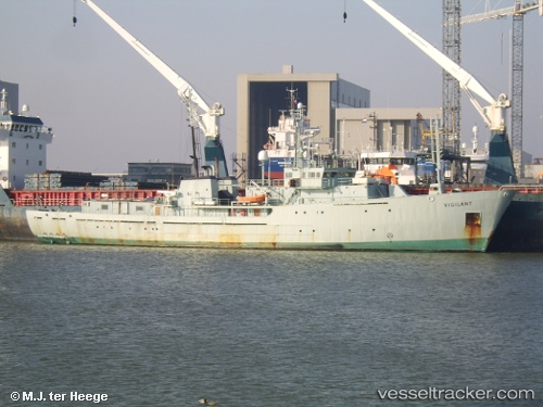
Vessel JOHN PAUL DE JORIA IMO: 8027406, MMSI: 341224001 Spare - Local Vessel
UTC, 5.97833, -53.45500, course: -1, speed: 6
UTC, 5.87228, -53.24569, course: 116, speed: 5.7
2026-03-24 23:47:24 UTC, 5.82216, -53.07320, course: 135, speed: 5.6
Live Vessel JOHN PAUL DE JORIA Analytics (details, animations, etc.)
Live AIS position: UTC. 27 nm N of Sinnamary), updated 2026-03-24 23:47:24 UTC.Find the position of the vessel JOHN PAUL DE JORIA on the map. The latter are known coordinates and path.
marine traffic ship tracker show on live map
The current position of vessel JOHN PAUL DE JORIA is 5.82216 lat / -53.07320 lng. Updated: 2026-03-24 23:47:24 UTCCurrently sailing under the flag of Saint Kitts and Nevis
Details:
Last coordinates of the vessel:
UTC, 6.06431, -53.61546, course: 116, speed: 5.6UTC, 5.97833, -53.45500, course: -1, speed: 6
UTC, 5.87228, -53.24569, course: 116, speed: 5.7
2026-03-24 23:47:24 UTC, 5.82216, -53.07320, course: 135, speed: 5.6