 vesseltracker.com
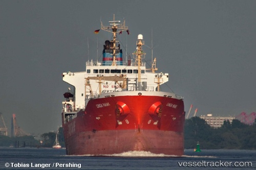
Vessel DILIGENT STAR IMO: 9222651, MMSI: 341361002 Oil/Chemical Tanker
UTC, 39.24689, 19.12839, course: 343, speed: 12.7
UTC, 39.88551, 18.90019, course: 346, speed: 12.5
2026-02-27 21:30:40 UTC, 40.07005, 18.83948, course: 347, speed: 12.5
Live AIS position:
UTC. 18 nm E of Torre Cesarea),
updated 2026-02-27 21:30:40 UTC.
Find the position of the vessel DILIGENT STAR on the map. The latter are known coordinates and path.
marine traffic ship tracker show on live map
The current position of vessel DILIGENT STAR is 40.07005 lat / 18.83948 lng. Updated: 2026-02-27 21:30:40 UTCCurrently sailing under the flag of Saint Kitts and Nevis
Details:
Last coordinates of the vessel:
UTC, 38.98622, 19.22818, course: -1, speed: 13.1UTC, 39.24689, 19.12839, course: 343, speed: 12.7
UTC, 39.88551, 18.90019, course: 346, speed: 12.5
2026-02-27 21:30:40 UTC, 40.07005, 18.83948, course: 347, speed: 12.5