 vesseltracker.com
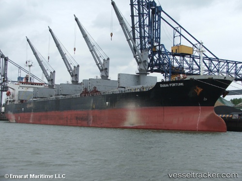
Vessel SEA STAR 74 IMO: 9109378, MMSI: 341478001 Bulk Carrier
UTC, 24.07842, 38.07585, course: 213, speed: 0
UTC, 24.07839, 38.07587, course: 213, speed: 0
2026-03-12 22:03:27 UTC, 24.07832, 38.07574, course: 213, speed: 0
Live Vessel SEA STAR 74 Analytics (details, animations, etc.)
Live AIS position: UTC. Near Yanbu Al Bahr), updated 2026-03-12 22:03:27 UTC.Find the position of the vessel SEA STAR 74 on the map. The latter are known coordinates and path.
marine traffic ship tracker show on live map
The current position of vessel SEA STAR 74 is 24.07832 lat / 38.07574 lng. Updated: 2026-03-12 22:03:27 UTCCurrently sailing under the flag of Saint Kitts and Nevis
Details:
Last coordinates of the vessel:
UTC, 24.07839, 38.07585, course: 213, speed: 0UTC, 24.07842, 38.07585, course: 213, speed: 0
UTC, 24.07839, 38.07587, course: 213, speed: 0
2026-03-12 22:03:27 UTC, 24.07832, 38.07574, course: 213, speed: 0