 vesseltracker.com
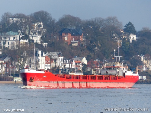
Vessel OAK I IMO: 8211629, MMSI: 341604000 General Cargo
UTC, 21.14597, 72.66149, course: -1, speed: 0
UTC, 21.14597, 72.66149, course: -1, speed: 0
2026-03-18 12:21:16 UTC, 21.14597, 72.66149, course: -1, speed: 0
Live Vessel OAK I Analytics (details, animations, etc.)
Live AIS position: UTC. Near Kril ICD), updated 2026-03-18 12:21:16 UTC.Find the position of the vessel OAK I on the map. The latter are known coordinates and path.
marine traffic ship tracker show on live map
The current position of vessel OAK I is 21.14597 lat / 72.66149 lng. Updated: 2026-03-18 12:21:16 UTCCurrently sailing under the flag of Saint Kitts and Nevis
Details:
Last coordinates of the vessel:
UTC, 21.14598, 72.66147, course: 155, speed: 0UTC, 21.14597, 72.66149, course: -1, speed: 0
UTC, 21.14597, 72.66149, course: -1, speed: 0
2026-03-18 12:21:16 UTC, 21.14597, 72.66149, course: -1, speed: 0