 vesseltracker.com
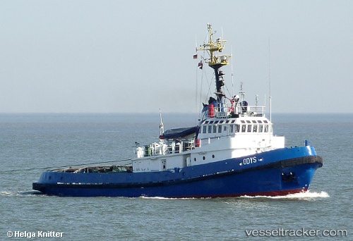
Vessel AK MASHA IMO: 7937965, MMSI: 341803001 Tug
UTC, 6.34874, 2.43199, course: -1, speed: 0
UTC, 6.34874, 2.43199, course: -1, speed: 0
2026-03-23 19:06:58 UTC, 6.34874, 2.43199, course: -1, speed: 0
Live Vessel AK MASHA Analytics (details, animations, etc.)
Live AIS position: UTC. Near Cotonou), updated 2026-03-23 19:06:58 UTC.Find the position of the vessel AK MASHA on the map. The latter are known coordinates and path.
marine traffic ship tracker show on live map
The current position of vessel AK MASHA is 6.34874 lat / 2.43199 lng. Updated: 2026-03-23 19:06:58 UTCCurrently sailing under the flag of Saint Kitts and Nevis
Details:
Last coordinates of the vessel:
UTC, 6.34872, 2.43201, course: 263, speed: 0UTC, 6.34874, 2.43199, course: -1, speed: 0
UTC, 6.34874, 2.43199, course: -1, speed: 0
2026-03-23 19:06:58 UTC, 6.34874, 2.43199, course: -1, speed: 0