 vesseltracker.com
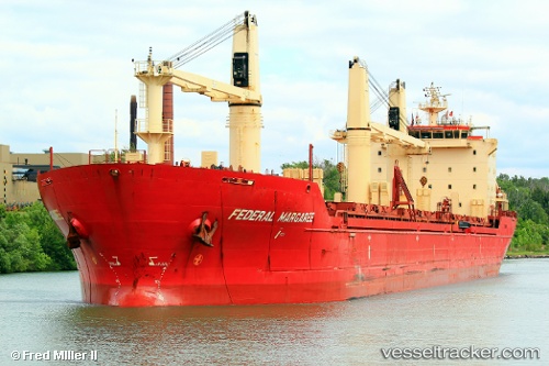
Vessel KAISER IMO: 9299472, MMSI: 341835001 Bulk Carrier
UTC, 24.58510, 56.68279, course: -1, speed: 0
UTC, 24.58500, 56.68167, course: -1, speed: 0
2026-03-05 01:54:15 UTC, 24.58520, 56.68308, course: 175, speed: 0
Live Vessel KAISER Analytics (details, animations, etc.)
Live AIS position: UTC. 15 nm SE of Shinas), updated 2026-03-05 01:54:15 UTC.Find the position of the vessel KAISER on the map. The latter are known coordinates and path.
marine traffic ship tracker show on live map
The current position of vessel KAISER is 24.58520 lat / 56.68308 lng. Updated: 2026-03-05 01:54:15 UTCCurrently sailing under the flag of Saint Kitts and Nevis
Details:
Last coordinates of the vessel:
UTC, 24.58478, 56.68217, course: -1, speed: 0UTC, 24.58510, 56.68279, course: -1, speed: 0
UTC, 24.58500, 56.68167, course: -1, speed: 0
2026-03-05 01:54:15 UTC, 24.58520, 56.68308, course: 175, speed: 0