 vesseltracker.com
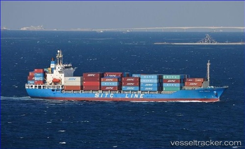
Vessel BENITA IMO: 9258727, MMSI: 341849001 Container Ship
UTC, 27.10167, 56.05500, course: -1, speed: 0
UTC, 27.10167, 56.05500, course: -1, speed: 0
2026-03-24 18:15:09 UTC, 27.10167, 56.05500, course: -1, speed: 0
Live Vessel BENITA Analytics (details, animations, etc.)
Live AIS position: UTC. Near Shahid Rajaee Pt/Bandar Abbas), updated 2026-03-24 18:15:09 UTC.Find the position of the vessel BENITA on the map. The latter are known coordinates and path.
marine traffic ship tracker show on live map
The current position of vessel BENITA is 27.10167 lat / 56.05500 lng. Updated: 2026-03-24 18:15:09 UTCCurrently sailing under the flag of Saint Kitts and Nevis
Details:
Last coordinates of the vessel:
UTC, 27.10167, 56.05500, course: -1, speed: 0UTC, 27.10167, 56.05500, course: -1, speed: 0
UTC, 27.10167, 56.05500, course: -1, speed: 0
2026-03-24 18:15:09 UTC, 27.10167, 56.05500, course: -1, speed: 0