 vesseltracker.com
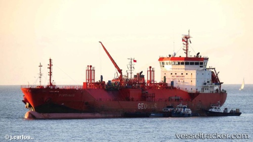
Vessel Fortunato IMO: 9347736, MMSI: 351434000
UTC, 19.29667, 41.00833, course: -1, speed: 38
UTC, 19.28500, 41.14500, course: -1, speed: 38
2026-02-27 23:58:04 UTC, 20.01667, 37.73500, course: -1, speed: 11
Live AIS position:
UTC. 37 nm NE of Port Sudan),
updated 2026-02-27 23:58:04 UTC.
Find the position of the vessel Fortunato on the map. The latter are known coordinates and path.
marine traffic ship tracker show on live map
The current position of vessel Fortunato is 20.01667 lat / 37.73500 lng. Updated: 2026-02-27 23:58:04 UTCDetails:
Last coordinates of the vessel:
UTC, 19.40167, 39.74667, course: -1, speed: 38UTC, 19.29667, 41.00833, course: -1, speed: 38
UTC, 19.28500, 41.14500, course: -1, speed: 38
2026-02-27 23:58:04 UTC, 20.01667, 37.73500, course: -1, speed: 11