 vesseltracker.com
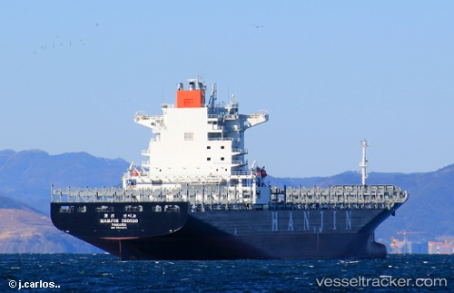
Vessel Maersk Aras IMO: 9624275, MMSI: 351977000 Container Ship
UTC, 5.29167, 78.42735, course: 215, speed: 14.2
UTC, 5.09093, 78.28588, course: 212, speed: 14.4
2026-02-28 22:30:06 UTC, 5.09093, 78.28588, course: 212, speed: 14.4
Live AIS position:
UTC. 128 nm SW of Bataduwa),
updated 2026-02-28 22:30:06 UTC.
Find the position of the vessel Maersk Aras on the map. The latter are known coordinates and path.
marine traffic ship tracker show on live map
The current position of vessel Maersk Aras is 5.09093 lat / 78.28588 lng. Updated: 2026-02-28 22:30:06 UTCDetails:
Last coordinates of the vessel:
UTC, 5.67839, 78.70503, course: -1, speed: 14.5UTC, 5.29167, 78.42735, course: 215, speed: 14.2
UTC, 5.09093, 78.28588, course: 212, speed: 14.4
2026-02-28 22:30:06 UTC, 5.09093, 78.28588, course: 212, speed: 14.4