 vesseltracker.com
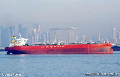
Vessel KALLISTA IMO: 9411965, MMSI: 352001127 Crude Oil Tanker
UTC, 11.68907, 80.87463, course: 162, speed: 16.2
UTC, 11.24300, 81.02730, course: 164, speed: 16
2026-03-01 05:41:49 UTC, 11.24300, 81.02730, course: 164, speed: 16
Live AIS position:
UTC. 71 nm NE of Negappattinam),
updated 2026-03-01 05:41:49 UTC.
Find the position of the vessel KALLISTA on the map. The latter are known coordinates and path.
marine traffic ship tracker show on live map
The current position of vessel KALLISTA is 11.24300 lat / 81.02730 lng. Updated: 2026-03-01 05:41:49 UTCCurrently sailing under the flag of Panama
KALLISTA built in 2010 year
Deadweight:
317441 tDetails:
Last coordinates of the vessel:
UTC, 12.37658, 80.64923, course: 163, speed: 15.7UTC, 11.68907, 80.87463, course: 162, speed: 16.2
UTC, 11.24300, 81.02730, course: 164, speed: 16
2026-03-01 05:41:49 UTC, 11.24300, 81.02730, course: 164, speed: 16