 vesseltracker.com
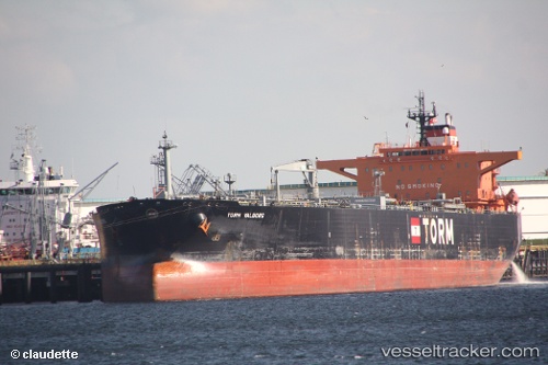
Vessel LEO II IMO: 9243318, MMSI: 352001697 Crude Oil Tanker
UTC, 34.48264, 33.32799, course: 285, speed: 2.4
UTC, 34.49134, 33.30983, course: 279, speed: 6.6
2026-02-15 03:41:10 UTC, 34.49357, 33.28520, course: 193, speed: 0.1
Live AIS position:
UTC. 13 nm S of Moni Anchorage),
updated 2026-02-15 03:41:10 UTC.
Find the position of the vessel LEO II on the map. The latter are known coordinates and path.
marine traffic ship tracker show on live map
The current position of vessel LEO II is 34.49357 lat / 33.28520 lng. Updated: 2026-02-15 03:41:10 UTCCurrently sailing under the flag of Panama
LEO II built in 2003 year
Deadweight:
99999 tDetails:
Last coordinates of the vessel:
UTC, 34.54449, 33.58482, course: 259, speed: 6.6UTC, 34.48264, 33.32799, course: 285, speed: 2.4
UTC, 34.49134, 33.30983, course: 279, speed: 6.6
2026-02-15 03:41:10 UTC, 34.49357, 33.28520, course: 193, speed: 0.1