 vesseltracker.com
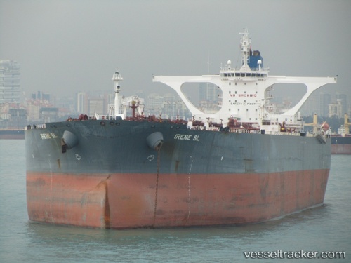
Vessel KIARA M IMO: 9285823, MMSI: 352002348 Crude Oil Tanker
UTC, 2.43973, 104.80431, course: -1, speed: 0.3
UTC, 2.44644, 104.80544, course: -1, speed: 0.3
2026-03-24 20:20:04 UTC, 2.44333, 104.80167, course: -1, speed: 0
Live Vessel KIARA M Analytics (details, animations, etc.)
Live AIS position: UTC. 75 nm E of Kampung Jawa), updated 2026-03-24 20:20:04 UTC.Find the position of the vessel KIARA M on the map. The latter are known coordinates and path.
marine traffic ship tracker show on live map
The current position of vessel KIARA M is 2.44333 lat / 104.80167 lng. Updated: 2026-03-24 20:20:04 UTCCurrently sailing under the flag of Panama
Details:
Last coordinates of the vessel:
UTC, 2.43833, 104.80833, course: -1, speed: 0UTC, 2.43973, 104.80431, course: -1, speed: 0.3
UTC, 2.44644, 104.80544, course: -1, speed: 0.3
2026-03-24 20:20:04 UTC, 2.44333, 104.80167, course: -1, speed: 0