 vesseltracker.com
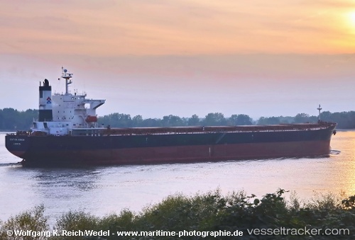
Vessel KAI RUI IMO: 9229623, MMSI: 352003495 Bulk Carrier
UTC, 36.69957, 36.18785, course: -1, speed: 0
UTC, 35.81915, 29.53881, course: 267, speed: 10.9
2026-03-09 14:26:43 UTC, 35.81660, 29.45824, course: 268, speed: 10.9
Live Vessel KAI RUI Analytics (details, animations, etc.)
Live AIS position: UTC. 21 nm S of Kastellorizou (ex Megísti)), updated 2026-03-09 14:26:43 UTC.Find the position of the vessel KAI RUI on the map. The latter are known coordinates and path.
marine traffic ship tracker show on live map
The current position of vessel KAI RUI is 35.81660 lat / 29.45824 lng. Updated: 2026-03-09 14:26:43 UTCCurrently sailing under the flag of Panama
Details:
Last coordinates of the vessel:
UTC, 36.69957, 36.18785, course: -1, speed: 0UTC, 36.69957, 36.18785, course: -1, speed: 0
UTC, 35.81915, 29.53881, course: 267, speed: 10.9
2026-03-09 14:26:43 UTC, 35.81660, 29.45824, course: 268, speed: 10.9