 vesseltracker.com
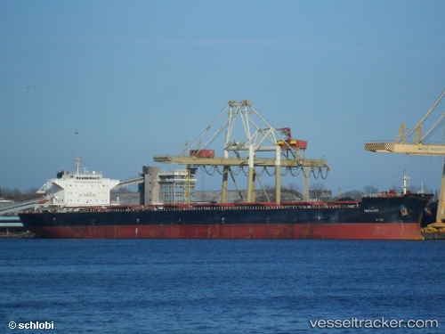
Vessel OCEAN FAIRY IMO: 9469041, MMSI: 352004867 Bulk Carrier
UTC, 9.24833, 96.81167, course: -1, speed: 10
UTC, 9.63167, 96.56500, course: -1, speed: 12
2026-02-25 15:20:04 UTC, 9.82167, 96.43167, course: -1, speed: 12
Live AIS position:
UTC. 127 nm W of Ranong Apt),
updated 2026-02-25 15:20:04 UTC.
Find the position of the vessel OCEAN FAIRY on the map. The latter are known coordinates and path.
marine traffic ship tracker show on live map
The current position of vessel OCEAN FAIRY is 9.82167 lat / 96.43167 lng. Updated: 2026-02-25 15:20:04 UTCCurrently sailing under the flag of Panama
Details:
Last coordinates of the vessel:
UTC, 8.92833, 97.02500, course: -1, speed: 10UTC, 9.24833, 96.81167, course: -1, speed: 10
UTC, 9.63167, 96.56500, course: -1, speed: 12
2026-02-25 15:20:04 UTC, 9.82167, 96.43167, course: -1, speed: 12