 vesseltracker.com
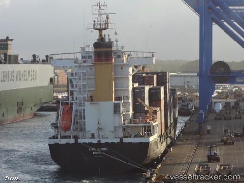
Vessel SAFESEA JANAKI IMO: 9403451, MMSI: 352005183 Container Ship
UTC, 18.74280, -66.18789, course: 339, speed: 0.7
UTC, 18.72944, -66.21047, course: 332, speed: 0.9
2026-03-24 15:44:43 UTC, 18.71426, -66.23526, course: 322, speed: 1.1
Live Vessel SAFESEA JANAKI Analytics (details, animations, etc.)
Live AIS position: UTC. 17 nm NW of San Juan), updated 2026-03-24 15:44:43 UTC.Find the position of the vessel SAFESEA JANAKI on the map. The latter are known coordinates and path.
marine traffic ship tracker show on live map
The current position of vessel SAFESEA JANAKI is 18.71426 lat / -66.23526 lng. Updated: 2026-03-24 15:44:43 UTCCurrently sailing under the flag of Panama
Details:
Last coordinates of the vessel:
UTC, 18.65843, -66.23717, course: 326, speed: 3.3UTC, 18.74280, -66.18789, course: 339, speed: 0.7
UTC, 18.72944, -66.21047, course: 332, speed: 0.9
2026-03-24 15:44:43 UTC, 18.71426, -66.23526, course: 322, speed: 1.1