 vesseltracker.com
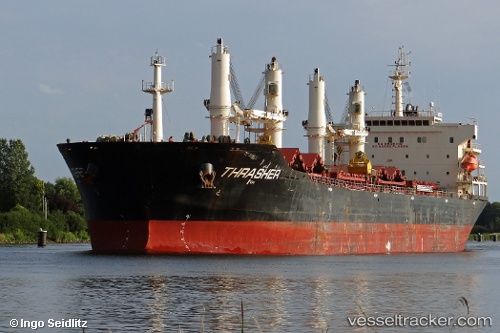
Vessel HY WANDA IMO: 9347932, MMSI: 352005526 Bulk Carrier
UTC, -5.68335, 1.59090, course: 149, speed: 11.2
UTC, -5.87392, 1.69430, course: 151, speed: 11.9
2026-03-25 03:29:35 UTC, -6.25653, 1.89517, course: 153, speed: 11.2
Live Vessel HY WANDA Analytics (details, animations, etc.)
Live AIS position: UTC. 366 nm SW of San Antonio de Palé), updated 2026-03-25 03:29:35 UTC.Find the position of the vessel HY WANDA on the map. The latter are known coordinates and path.
marine traffic ship tracker show on live map
The current position of vessel HY WANDA is -6.25653 lat / 1.89517 lng. Updated: 2026-03-25 03:29:35 UTCNearest reference points:
- Open sea, approx. 402 nm off the nearest listed port
- Open sea, approx. 400 nm off the nearest listed port
- Open sea, approx. 408 nm off the nearest listed port
Currently sailing under the flag of Panama
Details:
Last coordinates of the vessel:
UTC, -5.30537, 1.38758, course: 151, speed: 11.7UTC, -5.68335, 1.59090, course: 149, speed: 11.2
UTC, -5.87392, 1.69430, course: 151, speed: 11.9
2026-03-25 03:29:35 UTC, -6.25653, 1.89517, course: 153, speed: 11.2