 vesseltracker.com
Live AIS position:
4.05337° S, 39.64730° E UTC. Near Mombasa),
updated 2025-11-19 15:32:15 UTC.
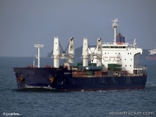
Find the position of the vessel Iron Lady V on the map. The latter are known coordinates and path.
marine traffic ship tracker show on live map
The current position of vessel Iron Lady V is -4.05337 lat / 39.64730 lng. Updated: 2025-11-19 15:32:15 UTCCurrently sailing under the flag of Panama
Iron Lady V built in 2011 year
Deadweight:
57295 tDetails:
Last coordinates of the vessel:
UTC, -4.05338, 39.64732, course: 166, speed: 0UTC, -4.05338, 39.64731, course: 166, speed: 0
UTC, -4.05338, 39.64731, course: 166, speed: 0
2025-11-19 15:32:15 UTC, -4.05337, 39.64730, course: 166, speed: 0