 vesseltracker.com
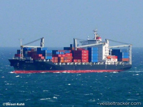
Vessel Callao Bridge IMO: 9451496, MMSI: 354106000 Container Ship
UTC, 3.68585, 105.72839, course: 38, speed: 15
UTC, 4.12147, 105.95428, course: 22, speed: 15.1
2026-03-01 18:21:20 UTC, 4.77078, 106.21886, course: 27, speed: 15.2
Live AIS position:
UTC. 22 nm SE of Kakap Natuna Terminal),
updated 2026-03-01 18:21:20 UTC.
Find the position of the vessel Callao Bridge on the map. The latter are known coordinates and path.
marine traffic ship tracker show on live map
The current position of vessel Callao Bridge is 4.77078 lat / 106.21886 lng. Updated: 2026-03-01 18:21:20 UTCCurrently sailing under the flag of Panama
Callao Bridge built in 2010 year
Deadweight:
33008 tDetails:
Last coordinates of the vessel:
UTC, 3.44462, 105.57941, course: 29, speed: 15UTC, 3.68585, 105.72839, course: 38, speed: 15
UTC, 4.12147, 105.95428, course: 22, speed: 15.1
2026-03-01 18:21:20 UTC, 4.77078, 106.21886, course: 27, speed: 15.2