 vesseltracker.com
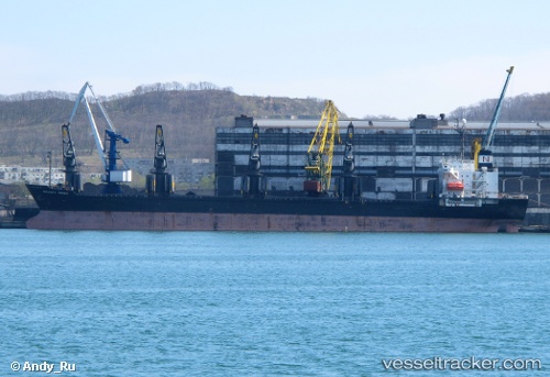
Vessel Tai Fu IMO: 9084231, MMSI: 354168000 Bulk Carrier
UTC, 22.98717, 70.22511, course: 158, speed: 0
UTC, 22.98712, 70.22513, course: 158, speed: 0
2026-02-24 07:20:33 UTC, 22.98719, 70.22506, course: 158, speed: 0
Live AIS position:
UTC. Near Kandla),
updated 2026-02-24 07:20:33 UTC.
Find the position of the vessel Tai Fu on the map. The latter are known coordinates and path.
marine traffic ship tracker show on live map
The current position of vessel Tai Fu is 22.98719 lat / 70.22506 lng. Updated: 2026-02-24 07:20:33 UTCDetails:
Last coordinates of the vessel:
UTC, 22.98667, 70.22500, course: -1, speed: 0UTC, 22.98717, 70.22511, course: 158, speed: 0
UTC, 22.98712, 70.22513, course: 158, speed: 0
2026-02-24 07:20:33 UTC, 22.98719, 70.22506, course: 158, speed: 0