 vesseltracker.com
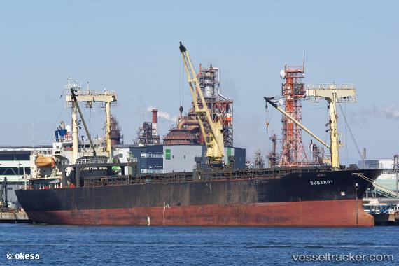
Vessel Subaru7 IMO: 9181819, MMSI: 354733000 General Cargo Ship
UTC, 23.64500, 58.56333, course: -1, speed: 0
UTC, 23.64506, 58.56394, course: 116, speed: 0
2026-01-14 15:32:04 UTC, 23.64518, 58.56399, course: 116, speed: 0.1
Live AIS position:
UTC. Near Mutrah),
updated 2026-01-14 15:32:04 UTC.
Find the position of the vessel Subaru7 on the map. The latter are known coordinates and path.
marine traffic ship tracker show on live map
The current position of vessel Subaru7 is 23.64518 lat / 58.56399 lng. Updated: 2026-01-14 15:32:04 UTCDetails:
Last coordinates of the vessel:
UTC, 23.64480, 58.56392, course: 99, speed: 0.1UTC, 23.64500, 58.56333, course: -1, speed: 0
UTC, 23.64506, 58.56394, course: 116, speed: 0
2026-01-14 15:32:04 UTC, 23.64518, 58.56399, course: 116, speed: 0.1