 vesseltracker.com
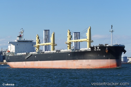
Vessel Tai Star IMO: 9774460, MMSI: 354857000 Bulk Carrier
UTC, 31.40144, 32.35385, course: 112, speed: 7.8
UTC, 31.16446, 32.32701, course: 194, speed: 9.4
2026-02-19 05:55:47 UTC, 30.83329, 32.31701, course: 177, speed: 9.6
Live AIS position:
UTC. Near Al Qantarah El Sharqiyya),
updated 2026-02-19 05:55:47 UTC.
Find the position of the vessel Tai Star on the map. The latter are known coordinates and path.
marine traffic ship tracker show on live map
The current position of vessel Tai Star is 30.83329 lat / 32.31701 lng. Updated: 2026-02-19 05:55:47 UTCDetails:
Last coordinates of the vessel:
UTC, 31.40477, 32.32965, course: 302, speed: 0.2UTC, 31.40144, 32.35385, course: 112, speed: 7.8
UTC, 31.16446, 32.32701, course: 194, speed: 9.4
2026-02-19 05:55:47 UTC, 30.83329, 32.31701, course: 177, speed: 9.6