 vesseltracker.com
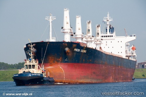
Vessel Pacific Cebu IMO: 9254460, MMSI: 356337000 Bulk Carrier
UTC, 38.94949, 118.12017, course: 270, speed: 0
UTC, 38.95050, 118.11665, course: 141, speed: 0
2026-02-20 06:26:30 UTC, 38.95048, 118.11661, course: 136, speed: 0
Live AIS position:
UTC. Near Taku Bar),
updated 2026-02-20 06:26:30 UTC.
Find the position of the vessel Pacific Cebu on the map. The latter are known coordinates and path.
marine traffic ship tracker show on live map
The current position of vessel Pacific Cebu is 38.95048 lat / 118.11661 lng. Updated: 2026-02-20 06:26:30 UTCDetails:
Last coordinates of the vessel:
UTC, 38.94925, 118.12015, course: 271, speed: 0UTC, 38.94949, 118.12017, course: 270, speed: 0
UTC, 38.95050, 118.11665, course: 141, speed: 0
2026-02-20 06:26:30 UTC, 38.95048, 118.11661, course: 136, speed: 0