 vesseltracker.com
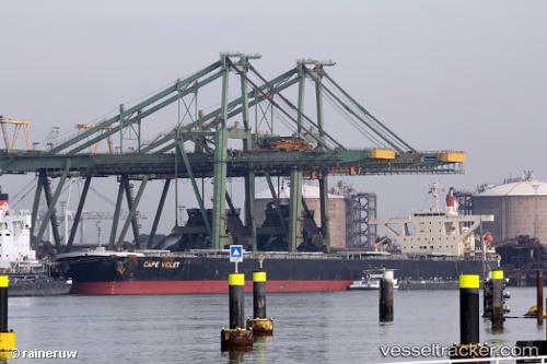
Vessel Cape Violet IMO: 9479905, MMSI: 356812000 Bulk Carrier
UTC, 19.34100, 119.08217, course: -1, speed: 10
UTC, 19.60167, 119.28527, course: -1, speed: 9.1
2026-02-25 16:06:23 UTC, 19.68130, 119.36283, course: -1, speed: 9.6
Live AIS position:
UTC. 105 nm NW of Bangui),
updated 2026-02-25 16:06:23 UTC.
Find the position of the vessel Cape Violet on the map. The latter are known coordinates and path.
marine traffic ship tracker show on live map
The current position of vessel Cape Violet is 19.68130 lat / 119.36283 lng. Updated: 2026-02-25 16:06:23 UTCCurrently sailing under the flag of Panama
Cape Violet built in 2009 year
Deadweight:
180274 tDetails:
Last coordinates of the vessel:
UTC, 19.34100, 119.08217, course: -1, speed: 10UTC, 19.34100, 119.08217, course: -1, speed: 10
UTC, 19.60167, 119.28527, course: -1, speed: 9.1
2026-02-25 16:06:23 UTC, 19.68130, 119.36283, course: -1, speed: 9.6