 vesseltracker.com
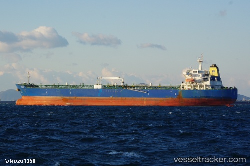
 SM NAVIGATOR
Current Status
Where is the vessel?
SM NAVIGATOR is currently in 331 nm W of Stybarrow Venture MV17, based on AIS data received about 2h ago.
Latest AIS update:
Current position: 20.00500° S, 108.13167° E (331 nm W of Stybarrow Venture MV17)
Average speed (last 7 days): Loading…
Average speed (last 30 days): Loading…
Vessel profile: SM NAVIGATOR is a Crude Oil Tanker with dimensions 189m x 32m.
This page combines live AIS, route history, probable destination signals, nearby traffic, and port activity for practical vessel monitoring.
The current position of vessel SM NAVIGATOR is -20.00500 lat / 108.13167 lng. Updated: 2026-03-25 17:22:23 UTCNearest reference points:
- Open sea, approx. 407 nm off the nearest listed port
- Open sea, approx. 401 nm off the nearest listed port
- Open sea (no nearby ports in database)
Currently sailing under the flag of Panama ![]()
SM NAVIGATOR built in 2008 year
Deadweight:
50376 tDetails:
Live Vessel SM NAVIGATOR Analytics (details, animations, etc.)
Recent AIS points (UTC):
2026-03-25 13:58:22 UTC · -19.40500, 108.15333 · SOG 10 kn · COG -1°2026-03-25 15:34:21 UTC · -19.68667, 108.14167 · SOG 10 kn · COG -1°
2026-03-25 17:19:24 UTC · -19.99500, 108.13167 · SOG 10 kn · COG -1°
2026-03-25 17:22:23 UTC · -20.00500, 108.13167 · SOG 10 kn · COG -1°